Category Archives: Blog

OKLAHOMA CITY… OKC to locals

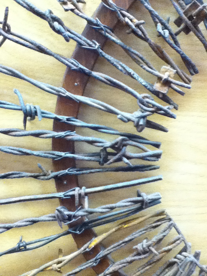
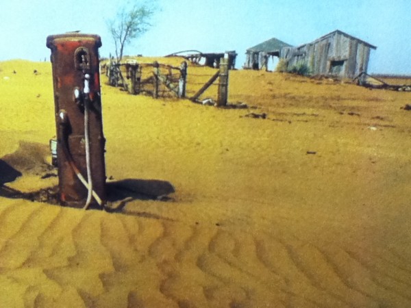
Approaching OK from the top of Texas presented an opportunity to visit, “The Devil’s Rope Museum” in McLean, Texas near the OK border. Growing up weekends at my grandmother’s working cattle ranch, I know it is mean but crucial stuff. The museum reminds us of its application in trench warfare and boundary making, like the Berlin Wall. The museum also has great photos of the Dust Bowl, impacting thousands of acres in New Mexico, Colorado, Kansas, and Oklahoma hardest hit of all. Thanks to the U.S. Dept. of Agriculture’s propaganda, farmers tore out the centuries old Prairie Grass with 19 inch root systems, and planted wheat and cotton, failing to anticipate cycles of drought. “The soil just got up and left the county”, as did most of the population. My book group read, The Worst Hard Times, by Thomas Egan focusing on the very few who stayed, in spite of the walls of dust hundreds of feet high blowing in without warning, destroying lungs and livelihoods.

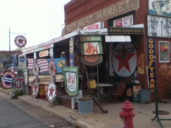
Heading further west into OK we visit Erick, with Route 66 buildings, and the Roger Miller museum. It kept me cheerfully humming, “Dang Me” and “King of the Road” for hours.

OKC is the horse show capital of the world. We unusually hit a week with no shows, having missed the Morgan Horse Show the week before, and the Reigned Horse (Western Style Riding) Show the following week. OKC was the site of the Grand National Rodeo until it moved to Las Vegas. The Cowboy Museum showcases great architecture and western art in the lovely Persimmon Hills, outside OKC. We went expecting to see a large exhibit of Nicolai Fachin’s studio and work, only to learn the great stuff had been sold off to keep the museum afloat. It had many of the same artists as in Santa Fe, so we didn’t stay long, feeling sated with red rock landscapes, and having seen better works by the same artists in Santa Fe.

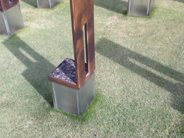
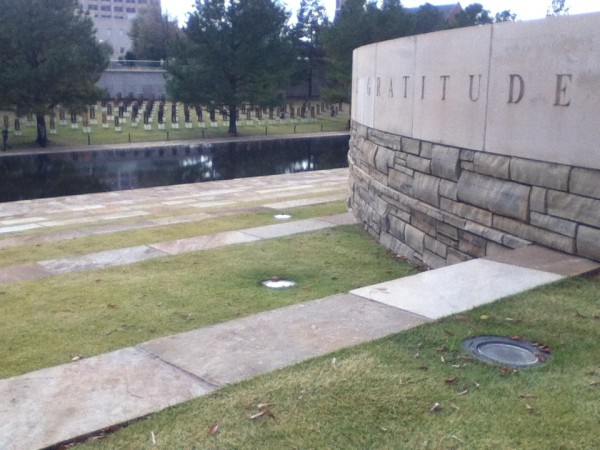
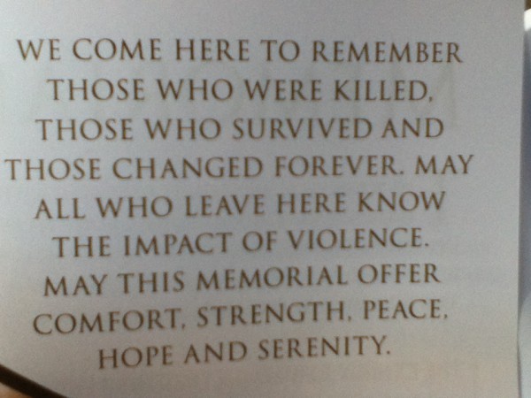
However, we were very moved by the beautiful OKC Memorial for the 168 killed at the Federal Building. I remembered that my first thought upon hearing of the tragedy was hoping that the perp was a wacko white American, to avoid backlash to innocent foreigners. I got my wish. Timothy Mcveigh and Terry Nichols pissed off at the government for their bungling of the Waco, TX stand-off by other white separatists. The Museum describes the FBI search based on shards of the rental van found at the scene. Very dramatic was the use of chairs with the victims names, chilling however, the small chairs, casting small shadows to represent the child victims.

Gates at each end connected by a block long reflecting pool, note only two times: 9:01 the minute of innocence before the blast and 9:02 the response. Overall, our time in OKC felt somber as we reflected on this state’s citizen resilience, and their focus on gratitude,  to the responders that provided assistance.

AMARILLO: God Bless Texas

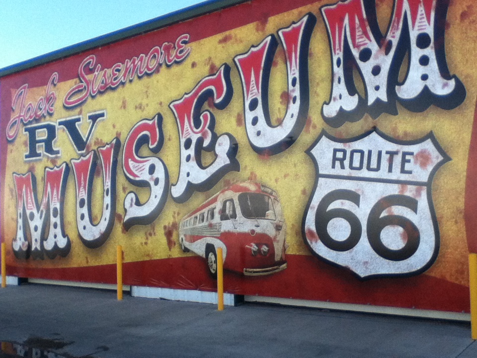
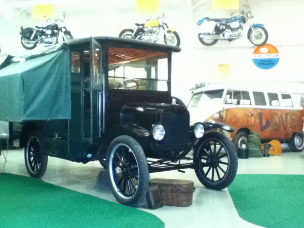
We got our first friendly “Ya’ll” here at the RV Musuem. Jack and Trent were so gracious; they have worked hard to create a great museum on road travel. We love this Model T, the first “Slide-out Wall” RV.  No one can answer our question about the cause of the 75 cent cost difference per gallon charged across the South, v.  cost in California. We were giddy upon finding $2.91/gal!

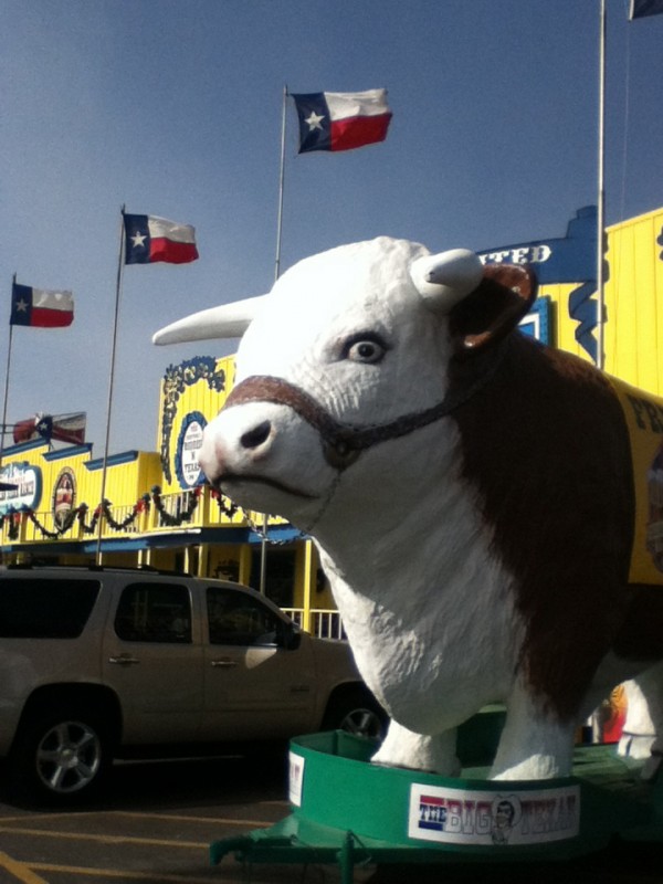
The entry from the west is introduced by the smell of stockyards. Beef is king here; Amarillo is one of the largest meatpacking sites in the country. The most famous restaurant here offers a free meal if you can finish it…72 oz. steak plus a gazillion starchy sides in an hour. 8800 people succeeded of the 55,000 that tried. We watched two big guys fail…they looked uncomfortable only halfway through the meal…or was that the $70 they had to pay for the chance to try? Waffle and steak houses are only outnumbered by churches and religious billboards.


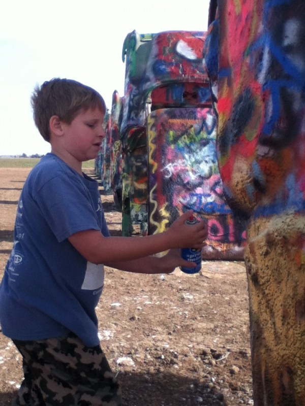
As Amarillo is on Route 66, there is some quirky art visible from the road. The Art Farm and Stanley Marsh III made the conceptual art work, “Cadillac Ranch”, featuring a line of cars tilted at the same angle as the Pyramids of Giza. Young artists make improvements…

Also, Art Farm installed over 300 goofy pole signs throughout the San Jacinto neighborhood in Amarillo. Some examples:

“Jobless Aging Tired Wanting Mostly Sleep”,

“ART Enables Me To Fall In Love With Human Beings”,

“Let’s Party*God Does”,

“Si Quieres Que Sepan Lo Que Eres, Cuentaselo A Las Mujeres” (if you want to know what’s what, ask the women),

“I Don’t Know How I Do It But Every Woman I Meet Is Crazy”,

“This Sign Is As American As Apple Pie”,

“We Have Given The World An Art Form Akin To A Slap In The Face”,

“I Must Be The World’s Greatest Sign”.

One disturbing sign on a private home was not meant for art: “We don’t dial 9-1-1″…with a firearm hanging below it. Maybe the title of this blog should have been, “Texas: Don’t Tread On Me”.


SANTA FE: Everyone’s Happy Place

With city mandated “covenants that run with the land”, there are no billboards, the housing stock is all brownish, limited to two stories, and one can see the snow covered mountains from everywhere in town. There is a huge amount of public art installations, galleries and museums, and performance art. It must have the most enormous volume of culture and entertainment per capita, especially for a city of 70,000 people). With little crime, affordable housing, abundant parks and open space, buckets of southwestern-style retail and restaurants, it is unusual and lovely. It is many people’s “happy place”…and makes me want to make fun of it!

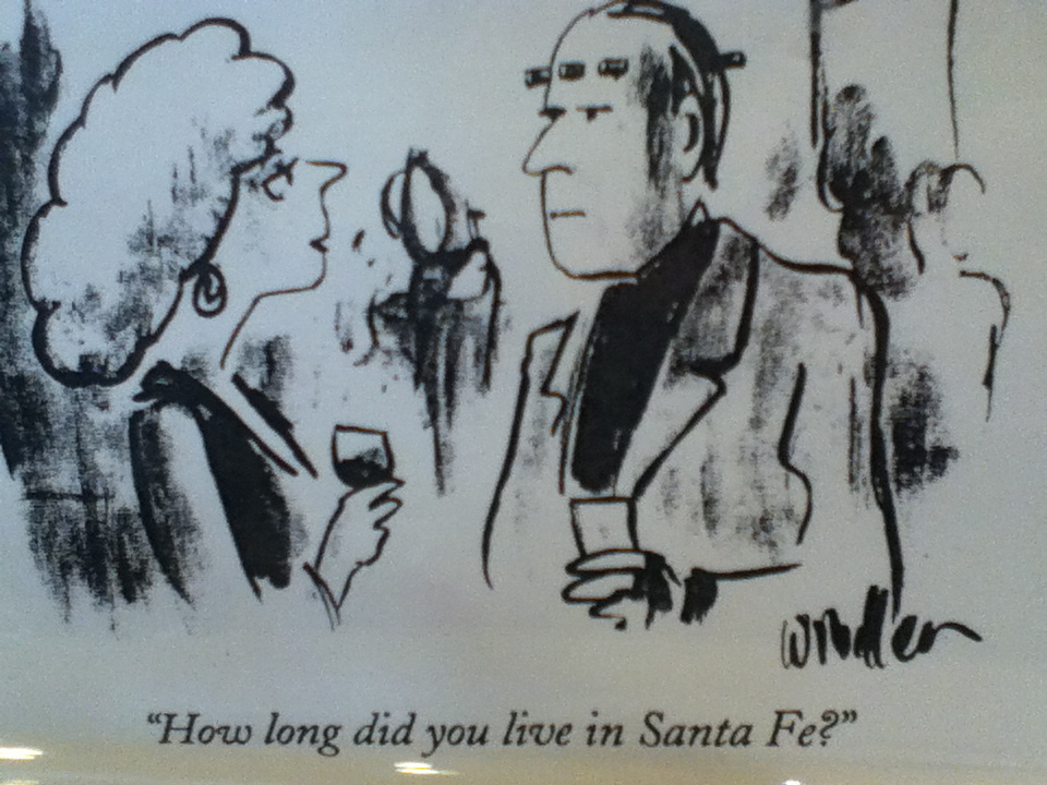
So you get cartoons from me, rather than culture, and gripes about the wandering streets that were laid out on the beds of old wagon trails, narrow and convoluted. Retail is the main language spoken here. The art is very expensive to buy, but so much of it is outdoors, you just cannot miss the free show. An original Nicolai Fachin, (a Russian who painted in Taos, NM), a 20″ x 25″ “cowboy” painting in a gallery here, only costs ….$800,000.  I will cherish my paperback book of his work.
 

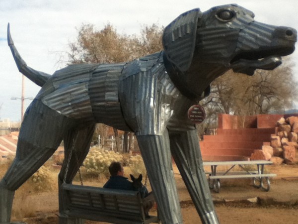
Yet one can only sound like a jerk complaining about Santa Fe, when the sun is shining almost year round, people are friendly, there are dogs everywhere and a great community and recreation center, including an ice rink and indoor water park. The Cathedral on the Plaza is the site for Willa Cather’s, Death Comes For The Archbishop. It is a story about the nasty behavior by the first priests that got them killed off in an uprising, followed by the benign treatment by the French priests, that made them beloved by the native people.  The depot for the “RailRunner” (a train with 4 cars that runs to Albuquerque) is also part of an arts district and outdoor sculpture park. Even the attached dog park sports a big gorgeous sculpture!


It was 22 degrees when we woke up yesterday, but the warm and intense sun at 6,000 feet melts the snow and makes you want to hang out with friends on a sunny patio and in front of a kiva fireplace, and enjoy

Frank’s daily private tango lessons and Irene’s martinis and great cooking. We are so spoiled!

SANTA FE: HOT SPRINGS TOUR

Driving from Durango, CO to Santa Fe, NM lie several hot springs, providing a great break from the driving. Steven has been to almost all of these springs and his descriptions and opinions are based on comparisons across many states.

Some are more in the line from Durango to Albuquerque:  McCauley Warm Pools (90 degrees, rustic, 1/4 mile hike), Spence Hot Springs (100 degrees, 2 pools, rustic, 1 mile hike), and Jemez Springs Bath House (individual clawfoot tubs by the hour…you control spigots and can be scalded, park in front).

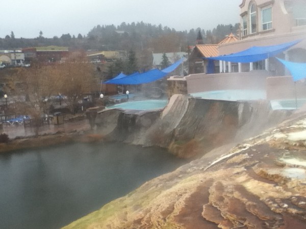
Some are an hour outside Durango, two in Pagosa Hot Springs: one is Turkish style and more quiet, aromatic, steamy and spiritual feeling…and the other, across the street, is very popular, family oriented (loud) with several pools and in sight of the town roads (see photo above).

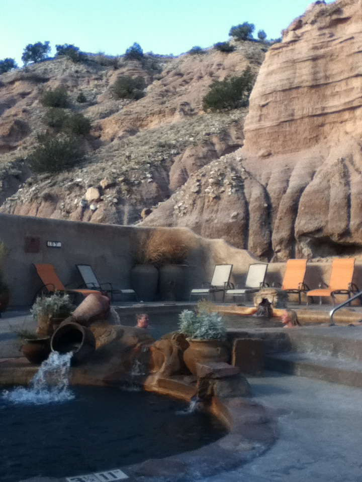
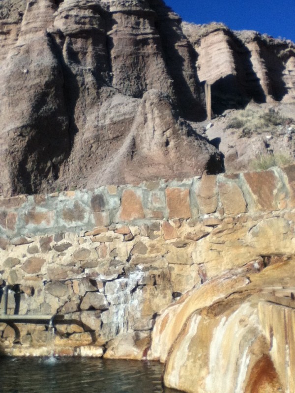
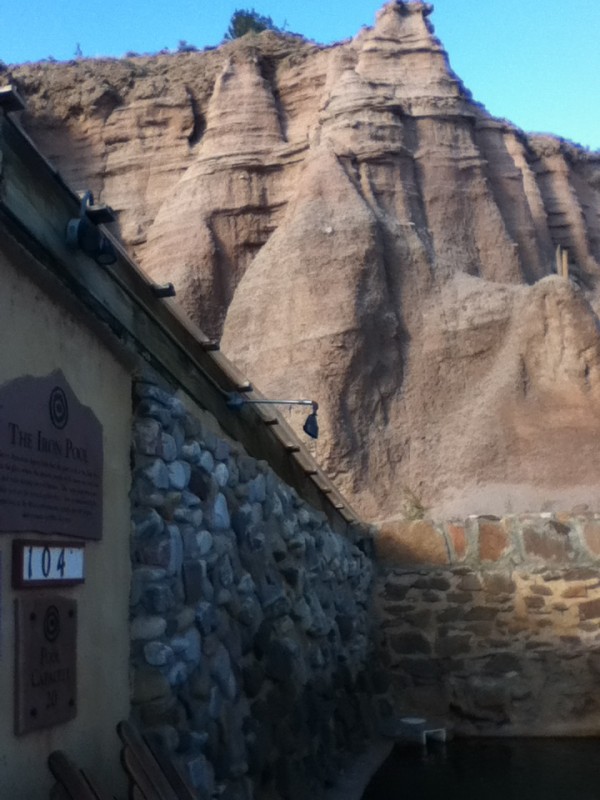
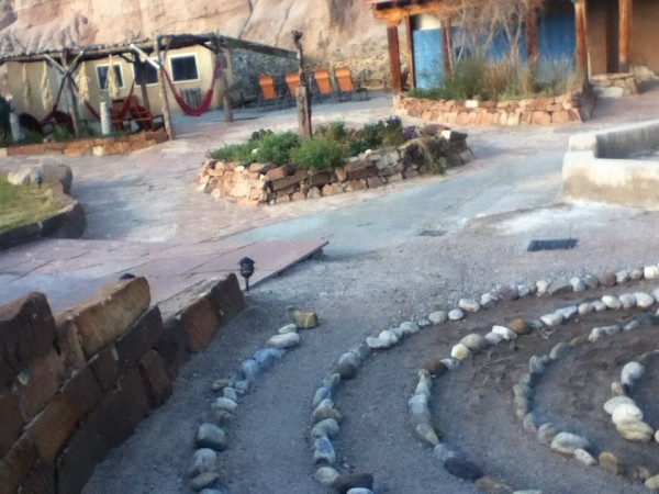
Ojo Caliente is an hour north of Santa Fe, a resort with rooms, towels, RV park, massage and body treatments, and non-sulphur pools that consistently stay at the following temps: 86 degrees (large swimming pool), 101 degrees (the Hot Flash Queen’s favorite), 103 degrees, 104 degrees and 105 degrees (hot gravel bottom…yummmmm!….in a gorgeous setting against the rocks), and 107 degrees that is too hot to stay in for very long. There is also a steam room, sauna, wood fires in kivas surrounded by lounge chairs, a meditation labyrinth, restaurant and wine/dessert bar. It is exceptionally well maintained, and very serene due to their “whisper policy”. Within the city limits of Santa Fe, is the japanese style hot pools at A Thousand Waves.

Our resident hot springs expert chooses as The winner…..Pah Tempe Hot Springs in Hurricane, UT.  Sorry Colorado and New Mexico and California, you just cannot compete! See our blog, “SoCal to Southern Utah” in October 2012 for pics and details of Pah Tempe Hot Springs. That site will be gone in a few years as the the city of Hurricane moves to pipe it to avoid the taste of sulphur in their water. Go soon to experience the best hot springs experience we’ve ever had: private, rustic, variations of temperatures, gorgeous backdrop, quiet, clothing optional, reasonably priced.

When Pah Tempe is gone, the winner will be….Ojo Caliente. The only drawbacks to this very lovely place are: 1) its’ popularity in summer when 300 people convene there to soak; 2) clothing is required; and 3) it is not free (but then again, it doesn’t require a hike).  We enjoyed it in the first days of winter weather with some light hail, snow flurries, and rain. What better time to be in a hot spring pool?

DURANGO, CO: Election night 2012

Having completed our “Grand Circle” of the Southern Utah Monuments (except for the Grand Canyon, which we will raft down at some point), we crossed into Colorado. Our last town with a main street more than 4 blocks long was St. George, UT. We were sick of our own cooking, 5 minute showers, and cheap red wine, and looking forward to long hot showers, restaurants, and cocktails for an evening. We remembered that Steven’s step-daughter had been walking precincts near Durango CO, a swing-state, for several weeks for Fair Share Colorado. We were lucky to celebrate victory with her and her team, and some local election winners at the lovely Stater Theatre..sweet! We can’t do anything except put lots of “smile” photos in this blog…no matter what we are doing we cannot keep the smiles off of our faces!

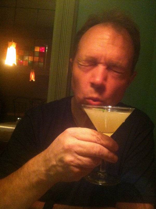
We had a signature “martini” (NOT a martini, but a yummy elixir anyway) with cucumber infused rum, lavender infused simple syrup, muddled mint and lime juice at the Cypress Cafe. After sharing a salad, lamb shank over greens and polenta, bread from “Bread”, a local artisan baker, the most bright and peppery olive oil, and pot de creme, we were happily  infused and muddled ourselves!

We awoke to rain, and a light powdering of snow. The cold didn’t bother us as we share lots of down quilts to sleep, our LP furnace really cooks, Lety has a down vest, and during the day, we huddled in front of the fire on comfy couches at the youth hostel. When it cleared, we played disc golf at Fort Lewis College across the street while Lety ran free in the scrub. Later we swam and played at the most amazing community center. Durango has won a national award for this site with slides (faster than any water park!), whirlpools, lazy rivers, a spa and sauna, pool tables, etc. WHEEeeeeeee! We really like this darling town of 17,000 happy people!

We are pretty upset that our mapping system is now based on AppleMaps, not the former GoogleMaps. Sending us nowhere   near the campground we sought, we got out to stretch our legs in the San Juan Forest, only to have four rangy coyotes immediately zero in on Lety, likely thinking about their next meal.  On the other hand we saw a charming sign in our tour of the forest, “Slow down for pot-bellied pigs…they are small”. We just hope they are bigger and tougher  than hungry coyotes!

MESA VERDE: ANCESTRAL PUEBLOAN MYSTERY II

With over 52,000 acres, Mesa Verde preserves almost 5,000 archeological sites, including 600 cliff dwellings. The Ancestral Puebloans began a building frenzy that began in 1200 AD and ended abruptly with abandonment of these sites throughout the Colorado Plateau in 1300 AD. Like the tiny site, Hovenweep, there remain many questions about the purpose of these buildings, and the reasons for abandoning them. The people left for the south and their descendants are the contemporary Pueblo people along the Rio Grande River, the Zuni in New Mexico, and the Hopi of Arizona. With ranger led tours ($3) to more protected sites (or to those with more hazardous access), along with self-guided tours, there are days of exploration available here. We gave it only a day as all the campgrounds nearby were already closed for the season.

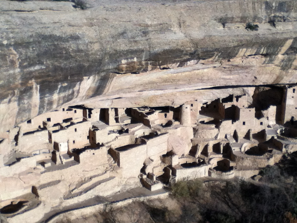
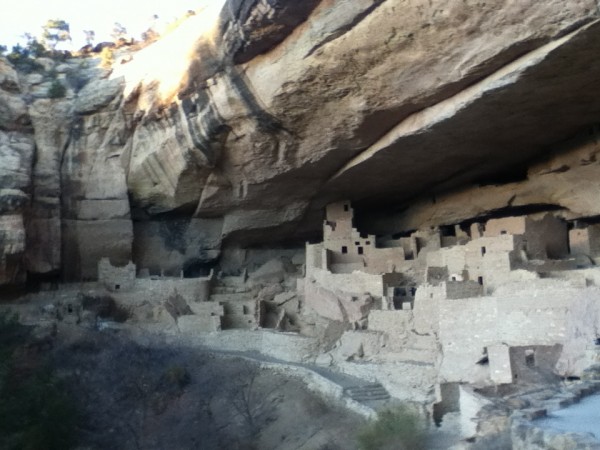
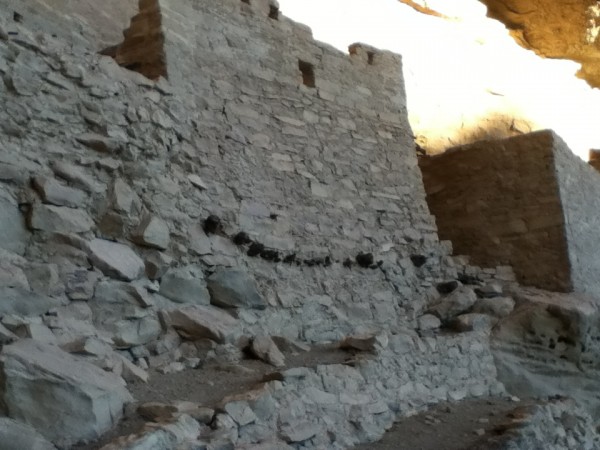
An outstanding tour and site is the Cliff Palace requiring climbing up ladders from the site up to the mesa. This and other sites in Mesa Verde differ from Hovenweep in that all of the dwellings are built in “alcoves” or large carved, arched recesses, below the rim. However, they share the line of sight view, from tower to tower, likely for communication purposes. The dominant explanation for these buildings have been the need for defense, but defense from whom is the remaining question. The dominant explanation for abandonment has been the “push theory”, that the people were forced out by drought, hostile intertribal relations, and lack of big game as a result of deforestation for kiln needs to make the famous black and white colored ceramics. The evidence supporting this is tree ring data showing environmental conditions including two extended droughts, each over 25 years long (dendroclimatology), a massive site of over 50 bashed in skulls of unburied people, and the expansion of ceramic production and export out of the area during this period. If the Ancestral Puebloans’ move off of the rim was defensive, it was effective, as there is no further evidence of mass violence after the move below the mesa. The mesa was used to grow corn, beans and squash, but domestic life remained below the rim after 1200 AD as water trickled down the walls of these alcoves and pooled in the arroyos. The alcove granaries were high and dry; corn could be stored for over 25 years without damage. The masonry is outstanding, and clearly required a lot of skilled hands and strong bodies to produce so many buildings, especially in such a short time. All at a time when the rest of life had to go on and ceramic production was up. These people were about 5’5 for men, and 5’1 for women and had about the same infant mortality rates as Europe (around 50%). They seemed to have about the same losses from contagion as in Europe and were producing many storied towers as in Medieval Europe at the same time. Yet the religion and cultures are truly worlds apart, as is the land they lived on.

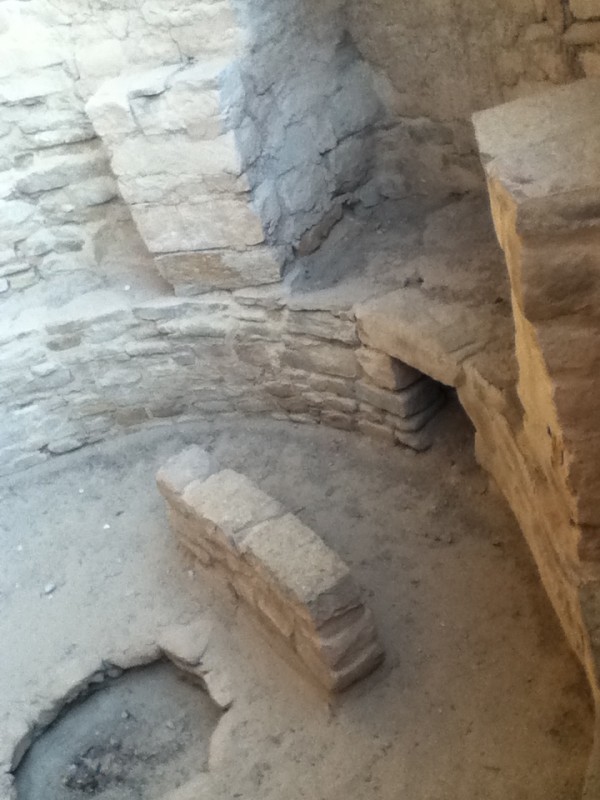
The archeologist at Mesa Verde has an (unpublished) “pull theory”, that the Ancestral Puebloans, whose religion was central to daily life, had a religious revolution of sorts, causing a mass migration south. Before the mass migration, the worship was in small groups inside kivas nestled next to residential and storage rooms, that were generally identifiable by the t-shaped doorways, the fire pit in the center, and an identification mark next to the fire pit. She believes that the Ancestral Puebloans were drawn to the Kachina cult, and moved south to larger and more open spaces that allowed for large numbers of people to worship together, such as the “dance plazas”.

It seems likely that something dramatic and enticing is a better explanation for a fast, massive abandonment as opposed to the slower effects from drought and deforestation, especially as cliff dwellings below the rim seemed to provide whatever defense was needed. Fortunately, tribes that came through the area after the site was abandoned, primarily Navajos and Paiutes, respected the sacrad nature of the dwellings, knowing that they were funereal as well as residential, and did no damage.


HOVENWEEP: ANCESTRAL PUEBLOAN MYSTERY

I predict that this will be another of our favorite sites this year for the following reasons: 1) it allows dogs on park trails unlike most other national parks and monuments (maybe because domesticated dogs lived here in 1200 AD?); 2) it falls within the dark sky reserve; 3) it is a precious, small site that receives only day visitors so the campground was empty; 4) it is easy to get close to the towers without having to schedule a ranger led tour; and 5) it showcases an unresolved demographic mystery.

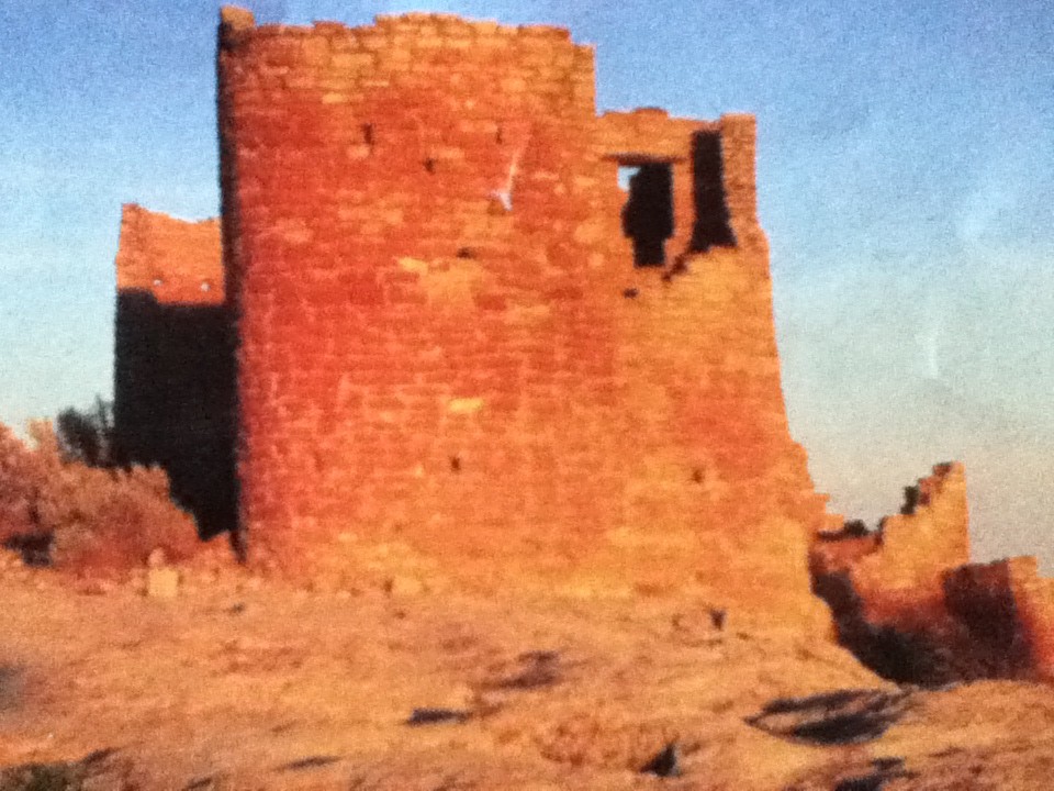
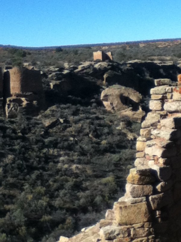
The Ancestral Puebloans (no longer called Anaszazi, as that is a Navajo word that means “enemy”) throughout the Colorado Plateau, commenced a building frenzy of masonry towers, and unit type houses with kivas, in 1200 AD. Only 20 years after completion, the residents began to leave the sites for residence in the South, until all sites were all abandoned by 1300 AD. Later tribes respected the dead buried in these sacred sites and avoided them. They remained undisturbed until gold prospectors entered the area. Fortunately, at Hovenweep and Mesa Verde, the sites remain well preserved. The are made from beautiful masonry. Stones were cut into blocks using harder Navajo Sandstone tools, small stones were “chinked” between the gaps, and mortar made from soil, imported mud from the mesa,  and water (or urine if water was in short supply) created both tall structures on the rim and cascading down into the canyon.

A truly unique structure is, “Boulder House”, which incorporates the huge rock under which it sits as part of its’ roof and walls. In the photo above it looks like Darth Vadar’s head or a motorcycle helmet.

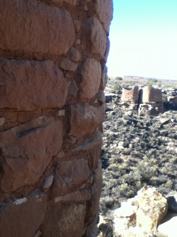
The canyon floor was warmer than the mesa and was used to grow corn, about the size of a forefinger, and easy to store in dry masonry granaries. Water was stored in catchdams in streams on the mesa at the head of the canyon, but having adequate water in this very dry site was cleary an issue, even for this small community of about 150 people. What is noteworthy in solving the two-fold mystery, why the Ancestral Puebloans built these towers, and why they abandoned them all within 100 years, is that all towers are within line-sight view of another tower, allowing communication, even at night using fire as a signal. Were these towers built for defense, and if so, to defend against what danger? Perhaps the 50 year drought preceding the building frenzy and the 23 year drought commencing the time when the towers were being abandoned are clues to solve the mystery. Mesa Verde, another Ancestral Puebloan site yields more evidence to answer these questions.

Natural Bridges: Water At Work

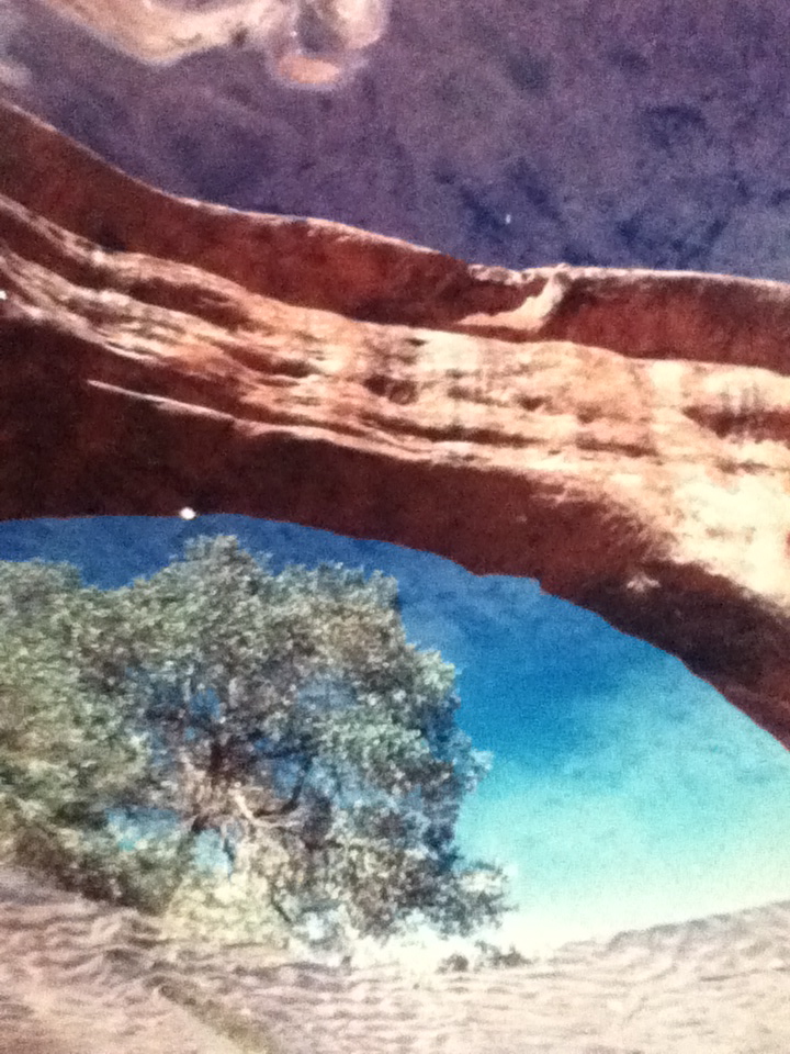
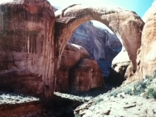
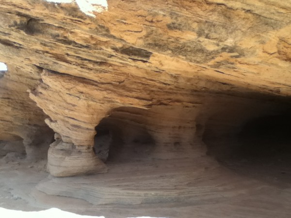
Massive stone bridges, among the largest in the world, cut by streams and rives. Arches, however, are formed by water erosion from the top. They both look the same to me. I took pictures of rocks nearby only 3 feet tall that seem to show the same erosion. With time, water, and support from harder rock on the side (like canyon walls would provide), arches (bridges?) would be formed.

[Please note: the featured image is a reflection from a pool under the bridge shot by an unknown NP staff member. Beautiful work. If anyone knows who to ascribe this to, please let us know so we can give credit to this wonderful photographer.]

This park also lies within the dark sky reserve, has an astronomy program and a new telescope. As we are travelling outside the season, no night sky program was available here. The old telescope was sent to Hovenweep National Monument, another dark sky site, but no one knows how to use it down there yet so we will just have to rely on binoculars, our “young” eyes, and our star guide app.


Goblin Valley…Baby Hoodoos!

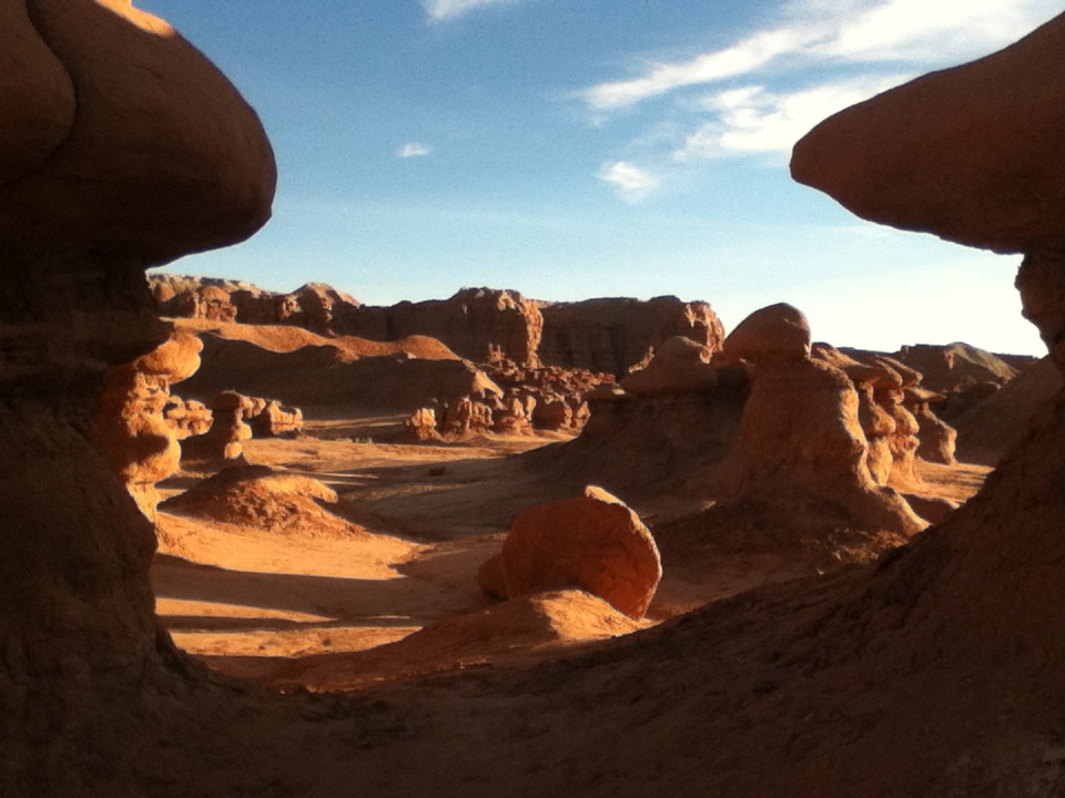
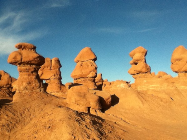
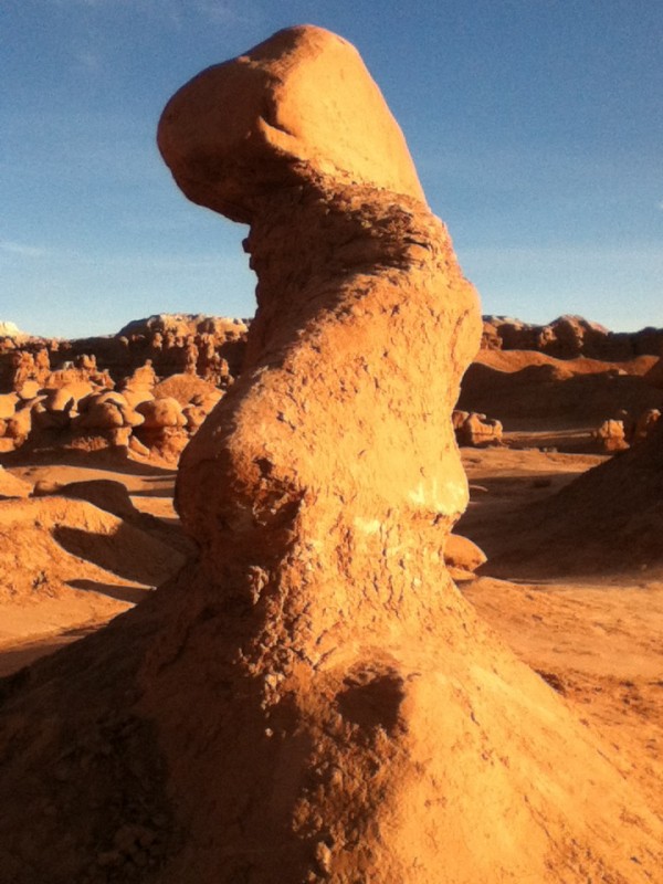
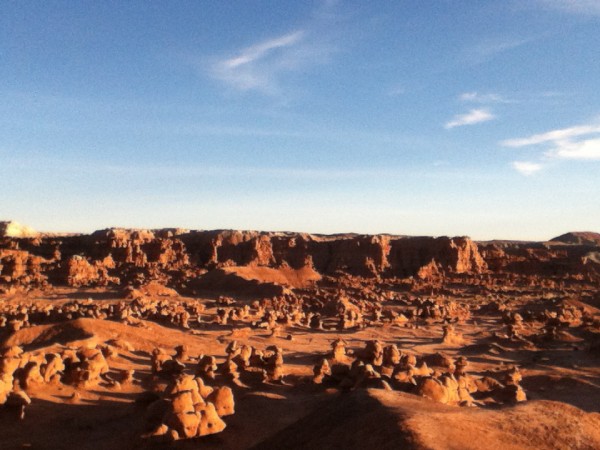
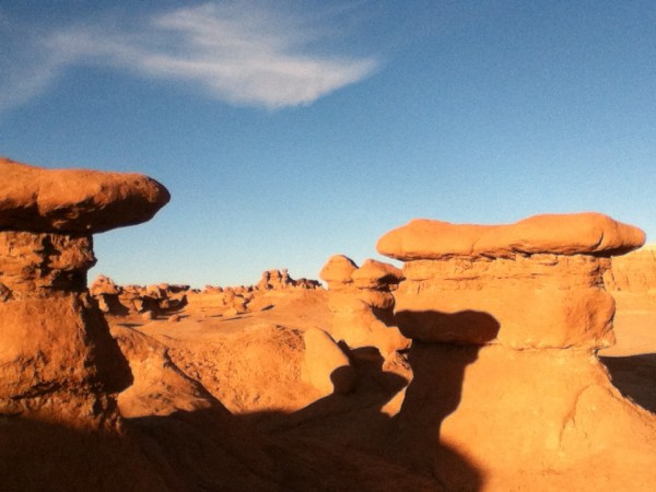
This place is sure to hit our top ten list this year. Unlike the tall spires that are only seen from above or below when you are “hoodooing” (like Bush, I reserve the right to make up words…) in Bryce Canyon, these hoodoos, called “Goblins” are human-sized, and mushroom shaped (….isn’t that a gracious way of saying, “phallic”?)


I felt like Alice in Wonderland walking among this valley floor covered with them.


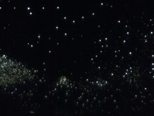
I have loaded up the goblin photos as I could not feature the other remarkable feature in this park, the complete darkness of the night sky here except for stars and planets and meteorites. Located just north of the Cathedral Valley in Capital Reef NP, this area down to Hovenweep is designated, a “dark sky reserve” as it lies more than 200 miles from the light array created by the large cities of Las Vegas and Salt Lake City. Stunning meteor displays allowed me to make LOTS of wishes for the election, global issues, and my son’s continuing success in college. This area was perfect for long evenings of campfire lounging.

The only disruption of our peaceful scene was Lety’s pursuit of nocturnal animals. Breaking 2 leashes and one collar lunging away from the fireside, we bought a choke chain (without sharp prongs) and heavy wire lead. She learned quickly to watch, not to lunge. Good dog. Smart dog. Nothing like a painful outcome to alter one’s behavior.

Old White Mountains Leer at Young Pink Rocks

Leaving Bryce Canyon on Scenic Byway 12, we drive 100 miles of designated, “All American Road”, one of only 10 such roads in the U.S. Crossing through 1.9 million acres of the last place in the continental U.S. to be mapped, we cruise by the last river to be mapped, the Escalante River. In 1872 while Powell’s 2nd Expedition mapped the Green and the Colorado Rivers, Powell’s sister, Botanist Ellen Thompson and her husband mapped the Escalante River and Henry Mountain.


While Bryce’s rocks formed its’ pink sandstone and limestone in a fresh water lake system 35-50 million years ago, they are relatively young. The rise of the Colorado Plateau 15-20 million years ago, exposed the sediment to erosion, forming fins and hoodoos. Capital Reef however, of harder Navajo Sandstone, is Permian rock, as old as 275 million years old and Cretaceous rock, as young as 80 million years old (…and does that make a 59 year old feel like a baby!) Maybe instead of getting old with phrases like, “60 is the new 50”, we should see our age as young compared with other “young” but enduring monuments. How about, “60 is the new 80 million”? Oh yeah, Baby, I am feeling like a young pink rock!)

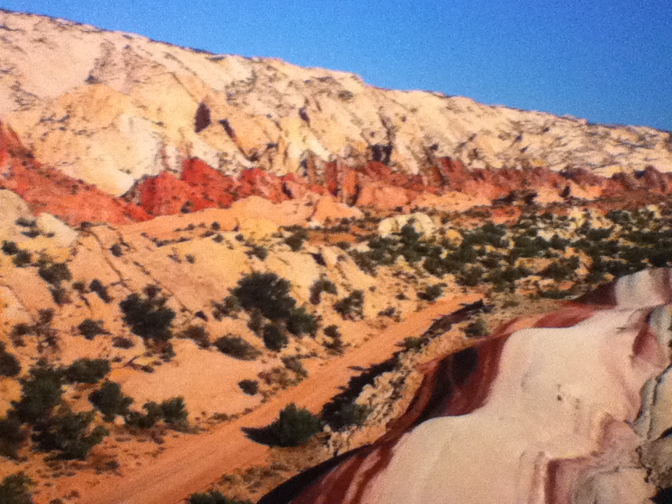
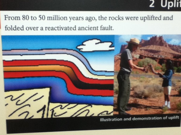
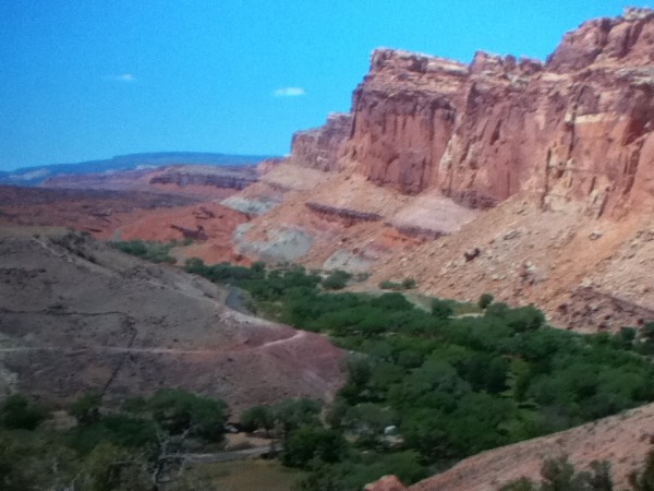
I digress, back to geology…the Colorado Plateau that exposed young and old rocks is the largest monocline (stair step fold) in the U.S. No where better can this be seen than at the Waterpocket Fold in Capital Reef, running 90 miles in length, and exposing rocks standing 7,000 feet higher on the west side of the buried fault. The Chinle Formation exposed by the fold extends over most of the Colorado Plateau. It’s layers show massive sand dunes 190 million years ago, meandering and stagnant swamps 210 million years ago, and limestone formed when the area was covered by a shallow ocean 270 million years ago.


Although an older and richer display geologically than any site on the Plateau, hiking through the Grand Wash in the Waterpocket Fold as Rebecca and I did in the 80’s, is less dramatic visually than the massive monuments to the north in Cathedral Valley, rivaling Monument Valley in Navajo lands to the South.