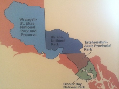
If you aren’t a long distance backpacker, climber, or kayaker, you can only touch the edges of these parks. Even a coastal assault does not provide easy access to the park interiors. Furthermore, taking hikes up slippery and steep, scree filled faces, from the perimeter roads, and then being able to see one small glaciers and one lower peak in the distance on each hike is more painful than pleasurable. However, driving for days down the paved highways along one long side of the extended three park World Heritage site, leaves us staggered by the enormity of these parks.
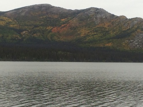
The most northern and the largest park in our National Park System, Wrangell-St. Elias NP contains 13,000 square miles of untouched wilderness. It is also the largest glacial system in North America, 25% of it covered by glaciers. 7 out of 10 of our largest U.S. parks are in Alaska. Mt. St. Elias, only 10 miles from tidewater, is only 600 feet lower than Denali, the highest mountain on the continent. The Bagley Icefield in the interior represents 60% of all ice-covered terrain in Alaska. Although the Park has World Heritage Site status, it is currently not a draw to tourists, given the access issues. Long, pot-holed dirt roads get you to one small glacier, but not to views of the ice fields and tall peaks we want to see. Not that glacial lakes aren’t a pretty place to camp…
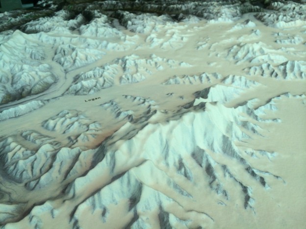
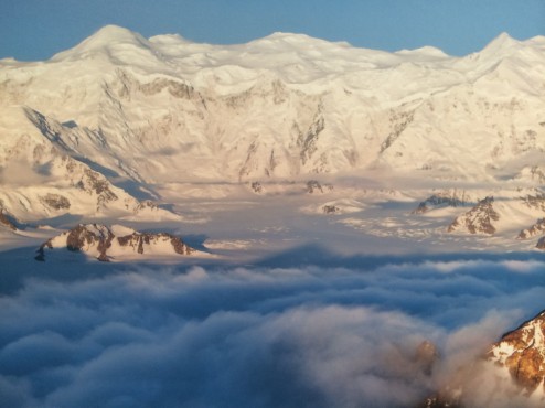
However, our biggest disappointment was not being able to see Mt. Logan in Canada’s Kluane Park (pronounced “cloo-AH-nee) . Mt. Logan is the highest peak in the largest massif mountain structure in the world. It can be seen best in the featured image of a relief map of the massif, and also in the uncredited flight-seeing photo below. It has the largest base circumference of any non-volcanic mountain on Earth. It is over 12 miles long and has over 200 glaciers. It contains 11 peaks over 16,500 feet…and the mountain is still rising. It is frozen year round, leaving an ice cap 1,000 feet thick in places. In geology, a massif is a section of the planet’s crust that retains its internal structure while being displaced as a whole. The Swiss Alps and Himalayas containing Mt. Everest are an example of these massifs, as is ‘The Face’…on Mars. Again, the World Heritage Site designation is not a draw for tourists so long as access is so limited. Just to give you a sense of our frustration, the Mt. Logan massif is not visible from ANY perimeter road, no matter how clear the weather. Only 2,000 feet taller, Denali can be seen most clear days from Anchorage to Fairbanks. This massive beast requires good weather AND an airplane. We had neither. “Grrrrr!”
The next Park to the South is the Tatshenshini-Alsek which is accessible by river. Running “The Tat”, is something we’ve heard river running friends talk about for years…big Class 4 waves and very cold water in deep wilderness, as the two eponymous rivers meet up. Again, you have to commit yourself to a 10 day or so rugged trip to enjoy the interior of these parks. The most frustrating experience is being unable to see, much less shoot cognizable photos of these amazing peaks due to poor weather and poor accessibility. I guess we just have to return, not during the rainy season, and when we are ready to commit 10 days to adventure travel…in each one of these parks.


