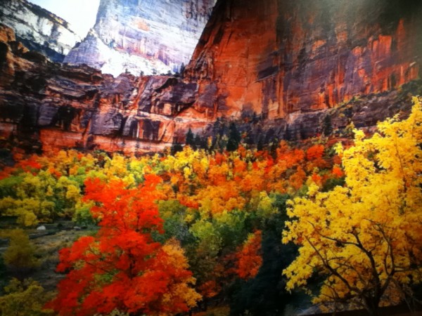
The Colorado Plateau is a region raised very slowly, thousands of feet, exposing sedimentary layers that created the color variations and whose erosion created incredible variety of canyons and rock formations. The Colorado Plateau is an immense area of land bordered on the south by the Sonoran and Painted Desert, on the west by the Great Basin of Nevada, on the east by the Rocky Mountains, and on the north by the Uinta Mountains of Utah. We are hiking and biking much of the 900 mile “Grand Circle, with focus on ruins of the Ancestral Puebloans, formerly called “The Anaszazi”, who have lived here for 10,000 years.
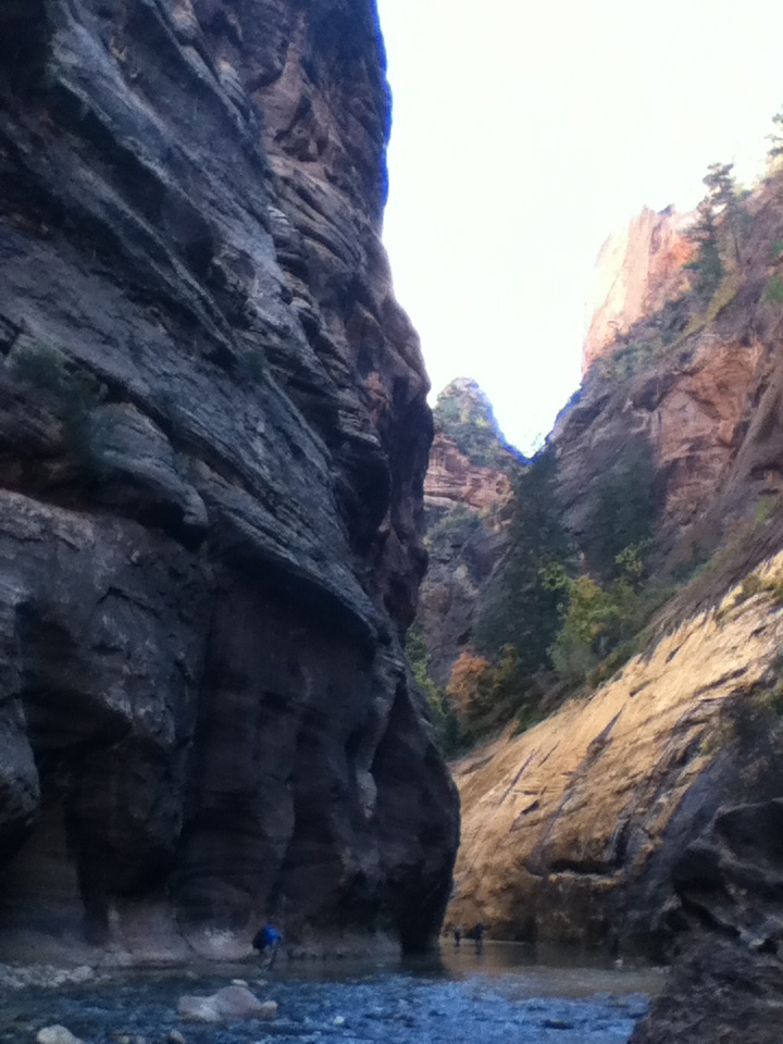
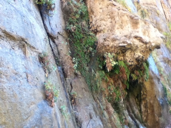
Deep in Zion Canyon, the Virgin River flows through a narrow canyon cut through the very hard substance, Navajo Sandstone, standing 2000 feet above the canyon floor. The sun rarely reaches the bottom of the canyon walls, narrowing to only 2o feet. It is a very cold and wet experience to wade up river. Prepared people wear wetsuits, neoprene booties, hiking boots and carry walking sticks.
In 1988 at Thanksgiving, my backpacking buddy Rebecca and I decided that hiking the 5 mile long Narrows in wet clothes, would make us hypothermic. No one was there (yeah, I know, I’ve said that before and been caught in the buff…) and we stripped to our unders and waded and swam the river, coming back to dry clothes. Given how much my feet hurt from the freezing water now in October, I think we either had intense mental toughness back then, or perhaps the numbness that protected my feet this time, was what allowed us to wade the river in more wintry conditions in the 80’s.

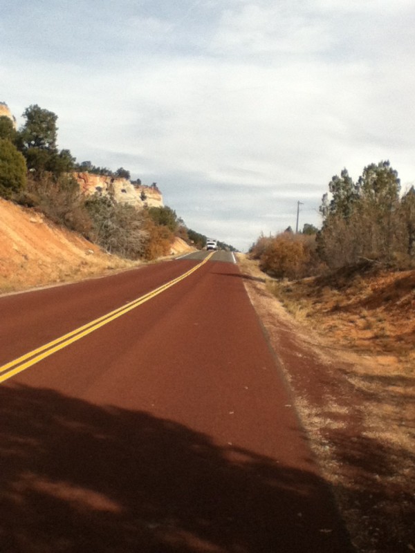
We enjoyed the long bike path that runs along the Virgin River. Another unique feature at Zion Canyon is the red macadam on the roads. At first I thought the red asphalt was based on the availability of local building material eg. red rocks=red highway materials. Not so. Someone actually thought to make the roads blend into the surroundings graciously. Within 500 feet of the canyon entry and exit, the roads revert to blacktop.


